The Course
The Snaefell Mountain Course
How the 37.73 mile Mountain Course works: the clockwise lap from Douglas, the climb over Snaefell, the towns it passes and what makes road racing different.
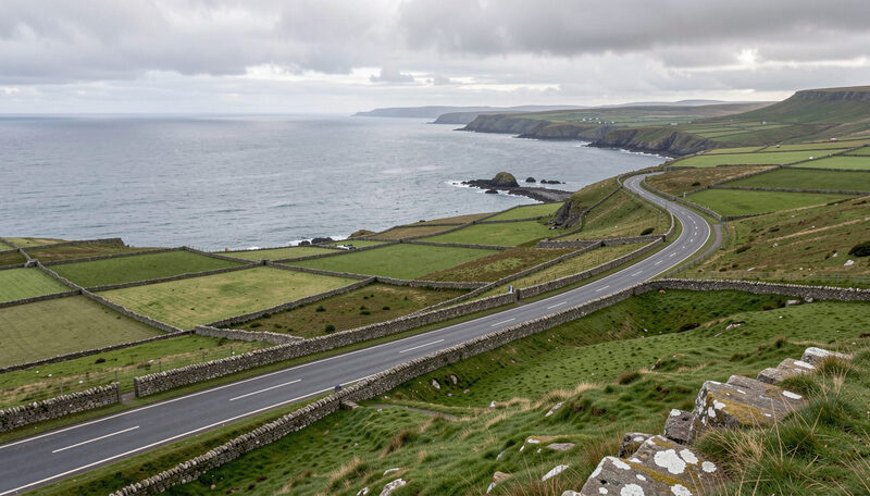
The Isle of Man TT is raced on a public road circuit that closes for a fortnight each year. The Snaefell Mountain Course measures 37.73 miles (60.72 km) and runs clockwise from the start line at the TT Grandstand on Glencrutchery Road in Douglas. It climbs from sea level to a mountain summit, drops through villages and returns to the capital through terraced streets. This guide explains how the circuit is built, where it goes, and why a lap of it is unlike a lap of any purpose-built track.
Why a public road circuit changes everything
A permanent racing circuit is designed for racing. Its run-off areas are gravel, its kerbs are painted, its surface is consistent, and its corners have known sight lines. The Mountain Course has none of that. It is made of ordinary roads, bordered by dry stone walls, hedges, garden walls, gateposts, telegraph poles and trees. A rider who runs wide does not find gravel, they find a wall. That single fact shapes the whole discipline of road racing: the line must be right on the first attempt, and the braking points are learned over years rather than discovered in an afternoon.
The surface changes constantly. The course crosses asphalt laid at different times, patched in places and polished in others. Cambers run the wrong way on some bends, and several sections rise and fall hard enough to lift a machine clear of the ground. Weather is part of the circuit too. A lap can start dry in Douglas, meet mist on the mountain, and finish on a damp road near the coast.
The shape of the lap
The route leaves Douglas through urban streets before turning right at Quarter Bridge onto the A1 road toward Peel. It passes the villages of Union Mills, Glen Vine, Crosby and Greeba before turning right again at Ballacraine onto the A3, the old Castletown to Ramsey road. From there the course runs through glens and farmland, passing Kirk Michael, Ballaugh and Sulby, before reaching the town of Ramsey. It then joins the A18 mountain road and climbs back across the hills to Douglas, finishing where it began.
The order matters to anyone trying to follow the racing. The first third is fast and lined with walls; the middle third is a rhythm of villages and short straights; the last third is the mountain, where the course climbs to its highest point and then falls back to the sea. Each section is covered in its own guide, from the opening drop at Bray Hill to the descent past Creg-ny-Baa.
How many corners does it have?
The number of turns is genuinely disputed. Published counts range from about 219 to more than 260, depending on whether a slight kink or a change of camber counts as a corner. What is not disputed is the number of named features: more than 60 bends, bridges, crossroads and landmarks on the course carry a name, and those names are the shared language of everyone who follows the racing. A full index is kept in the guide to the named corners of the Mountain Course.
Riders and commentators use those names the way other sports use player names. A report that says a rider was quick from Ballaugh to Sulby, or lost time at the Gooseneck, tells a reader exactly where the race turned. Learning the names is the fastest way to understand what a commentary team is describing.
The highest point and the mountain section
After Ramsey the course turns inland and climbs. The road passes the hairpin at Ramsey, then the Waterworks, then the Gooseneck, and continues up past the Bungalow. The highest point of the circuit sits after the Bungalow at Hailwood's Height, near the 31st milestone, at about 1,385 feet (422 metres) above sea level. From there the course falls back toward Douglas, past Windy Corner and Keppel Gate, and rejoins the streets above the capital.
The mountain is the part of the course most exposed to weather and the part where a small mistake costs the most. The climb is long enough to test an engine, and the descent is fast enough that braking stability matters more than outright power. This section is described in detail in the guide to Ramsey Hairpin and the mountain climb.
What the circuit is used for
The Mountain Course is not used only for the TT. The Manx Grand Prix and the Classic TT are run on the same roads later in the year, and the circuit has hosted club racing, historic meetings and parade laps. Between events the roads are open to ordinary traffic, and the same bends that carry racing machines at more than 130 mph carry delivery vans, buses and tourists at the posted limit.
That double life is the point of the place. The circuit is not a stadium with a postcode; it is the island's road network, borrowed for racing. The history of the TT explains how that arrangement began, and the guide to watching the TT explains how a spectator uses the same roads during race week.
A lap in numbers
The outright lap record stands at 16 minutes 36.115 seconds, an average speed of 136.358 mph, set by Peter Hickman on a BMW M1000RR during the 2023 Superstock TT. That average is measured over the whole 37.73 miles, which means the fastest sections are covered well above it and the slowest corners well below. The official records are published by the race organisers at iomttraces.com, and the circuit itself is documented in detail at Wikipedia.
For a spectator, the numbers are less important than the geography. Knowing that the course is 37.73 miles of closed public road, that it starts and finishes in Douglas, and that it climbs a mountain in between, is enough to read a race report, plan a day at the hedges, or understand why a road race is measured in minutes rather than in laps won.
The Course
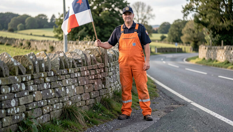
The Named Corners of the Mountain Course
A guide to the named corners and vantage points of the TT course, from Bray Hill and Quarter Bridge to Ramsey Hairpin, the Bungalow and Creg-ny-Baa.
More than sixty named features make a lap readable.
The Course
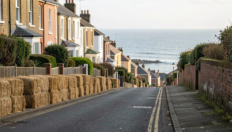
Bray Hill and the Start of a Lap
The first mile of a TT lap: the Grandstand start on Glencrutchery Road, the drop down Bray Hill, Quarter Bridge and the run out through Braddan.
The opening mile: the drop, the crowd and Quarter Bridge.
The Course
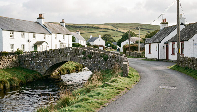
Ballaugh Bridge and the North
The north west of the TT course: Kirk Michael, the Ballaugh Bridge jump, the Sulby straight and the run into Ramsey along the old Castletown road.
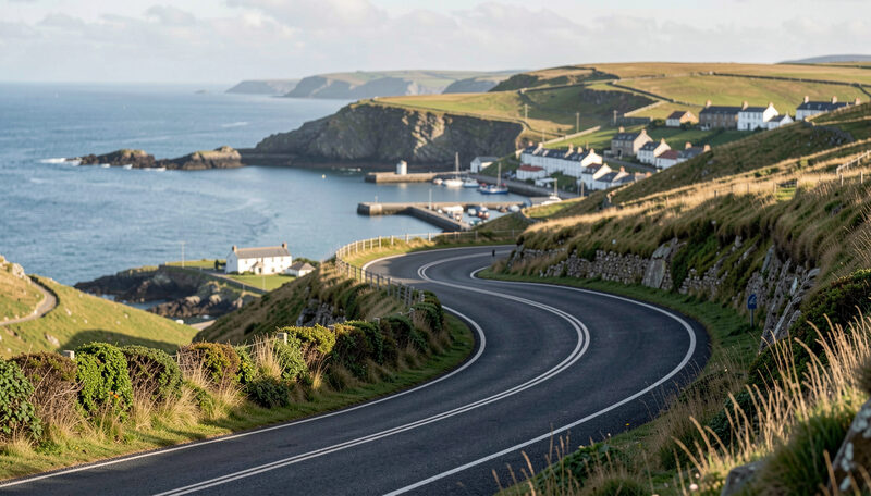
Kirk Michael, the bridge, the Sulby straight and the run to Ramsey.
The Course
Ramsey Hairpin and the Mountain Climb
The hardest part of a TT lap: the Ramsey Hairpin, the climb through Waterworks and the Gooseneck to the Bungalow and Hailwood's Height.
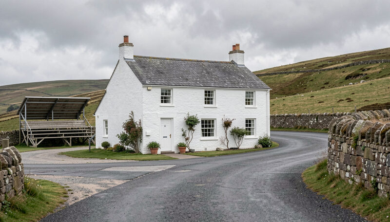
The tightest turn on the course and the climb over Snaefell.
The Course
Creg-ny-Baa and the Run to the Finish
The descent home: Keppel Gate, Kate's Cottage, the Creg-ny-Baa pub, Hillberry, Signpost Corner and the drop to the Governor's Bridge finish.
The descent home and the corners that decide a race.